Operation Black Buck
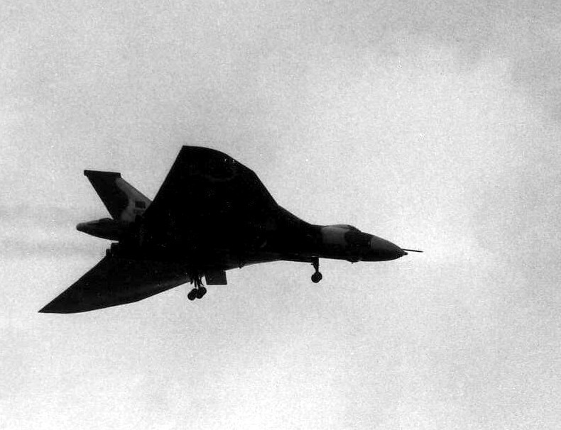
This rather grainy, poor quality picture was taken around dusk and is a Vulcan bomber making an approach to land at Ascension Island.
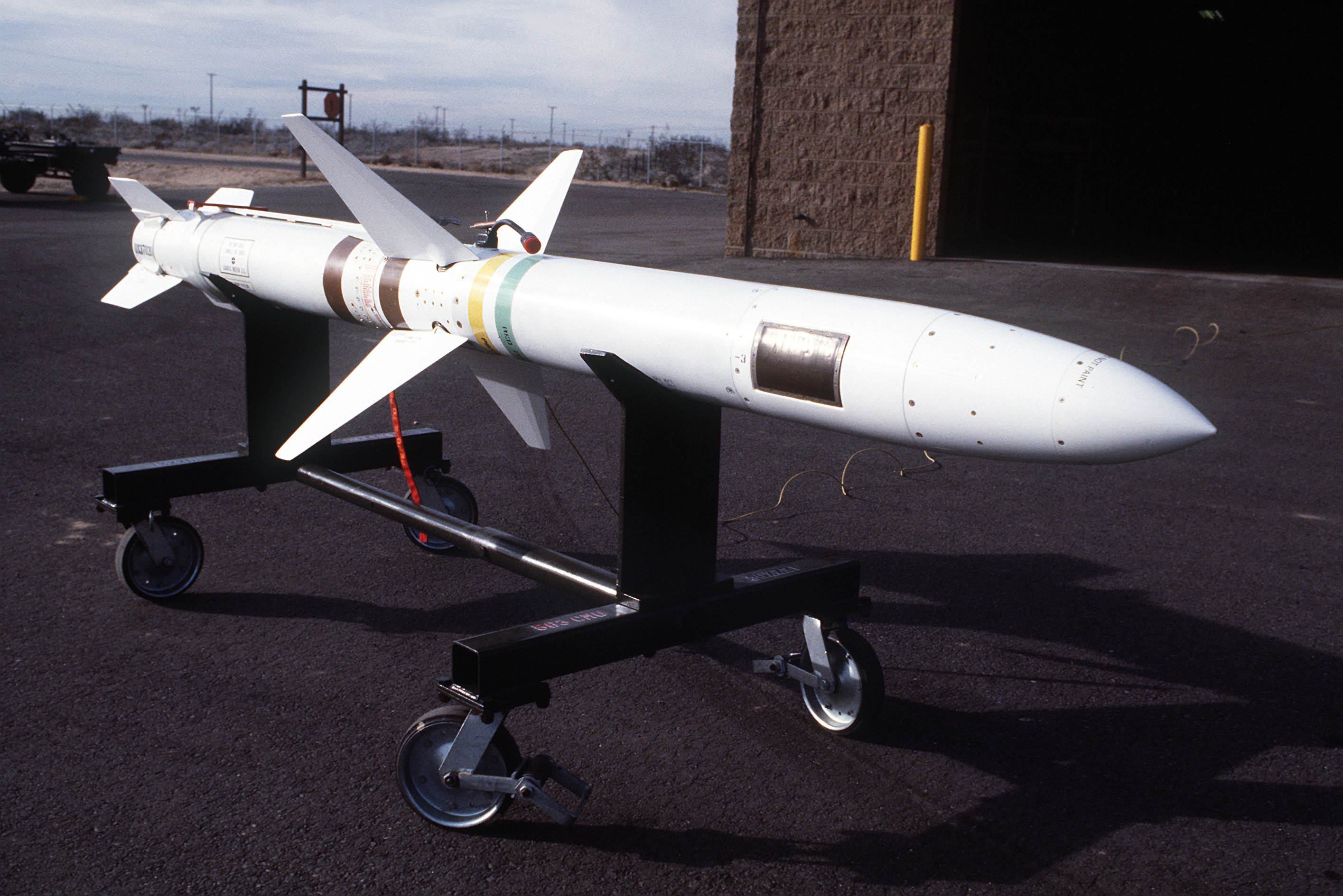
A view of an AGM-45 Shrike anti-radiation missile. Location: GEORGE AIR FORCE BASE, CALIFORNIA (CA) UNITED STATES OF AMERICA (USA)
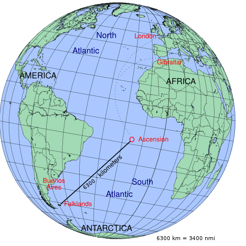
description map of Operation Black Buck during the Falklands War

Operation Black Buck

Refuelling.plan.black.buck (Japanese)を改良 日本語化
![The diagram presents the refuelling sequence only. Flight times, fuel volumes and distances are not represented
According to http://studysupport.info/vulcanbomber/blackbuck.htm[ dead link ] (archived at the Wayback Machine) or
Martin Middlebrook, The Falklands War 1982, Penguin Books, 2001, page 119 (The book contains a flaw in the diagram!)](https://upload.wikimedia.org/wikipedia/commons/9/97/Refuelling.plan.black.buck.svg)
The diagram presents the refuelling sequence only. Flight times, fuel volumes and distances are not represented According to http://studysupport.info/vulcanbomber/blackbuck.htm[ dead link ] (archived at the Wayback Machine) or Martin Middlebrook, The Falklands War 1982, Penguin Books, 2001, page 119 (The book contains a flaw in the diagram!)

Stanley Airport during the Falklands War as seen by a KH-9 Hexagon satellite. The image was taken one day before the ceasefire, and the craters from Operation Black Buck can be seen.

Betankungsplan

This is my Dad (on the far right front row), with the rest of the General Engineering Firm, and the flight crew, stood in front of the Vulcan just before she left for the Falklands, where she would ultimately bomb Port Stanley.
Historical Overview
Long-range airstrike by British Vulcan bombers.
Quick Facts
RAF
- Commander: John Reeve
- Strength: 1 Vulcan
- Casualties: 0
Argentina
- Commander: -
- Strength: unbekannt
- Casualties: gering
Strategic Context
Damaging the Stanley runway.
Related Literature


Historical Locations
Interactive map requires third-party cookie consent.