Schlacht von Vertières
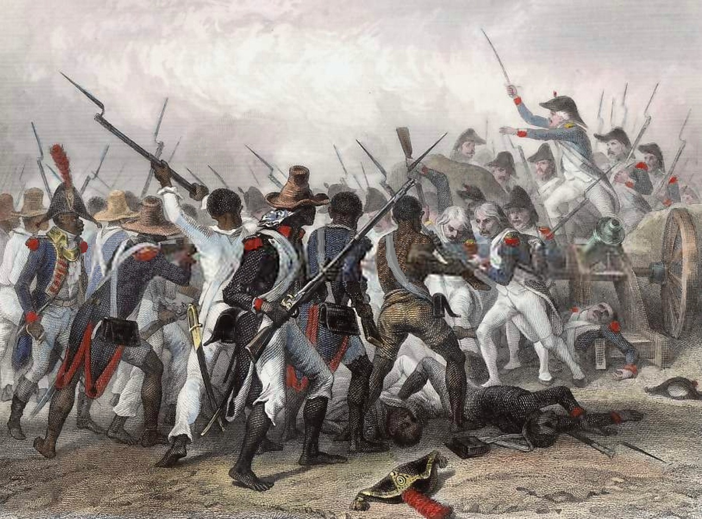
Attack and take of the Crête-à-Pierrot (4 - 24 March 24, 1802). Original illustration by Auguste Raffet, engraving by Ernst Hébert.

Vertières is located just south of Cap-Haïtien (then known as Cap-Français), in the Nord Department, Haiti. By late October 1803, the forces fighting against the expeditionary troops had already captured most of Saint-Domingue's territory. The only places controlled by French forces were Môle-Saint-Nicolas, controlled by Noailles, and Cap-Français, where French General Rochambeau was waiting with 5,000 men.

English: Monument to the heroes of the battles of Vertières erected under the government of General Paul E. Magloire (1950 -1956).
Historische Übersicht
Die Schlacht von Vertières war die letzte Schlacht des haitianischen Unabhängigkeitskrieges. Sie fand am 18. November 1803 in der Nähe von Vertières im Norden der Insel statt zwischen einer Armee haitianischer Sklaven und französischen Truppen.
Fakten auf einen Blick
Armée Indigène (Haiti)
- Befehlshaber: Jean-Jacques Dessalines
- Truppenstärke: ca. 15.000
- Verluste: ca. 1.200
Französische Expedition
- Befehlshaber: Rochambeau
- Truppenstärke: ca. 5.000 (effektiv)
- Verluste: ca. 2.000
Strategischer Kontext
Finaler Kampf um die Unabhängigkeit nach dem Scheitern der frz. Expedition.
Weiterführende Literatur

Trafalgar: Great Battles and Sieges

Historische Orte
Die interaktive Karte erfordert die Zustimmung zu Drittanbieter-Cookies.